01/04 · Global detection
GNSS and solar weather
Identification of spoofing, jamming and solar events with potential operational impact.
SolutionsSpaceSafe
What it does
Monitoring of GNSS/GPS interference, space cybersecurity, solar weather and continuity for constellations and orbital infrastructure.
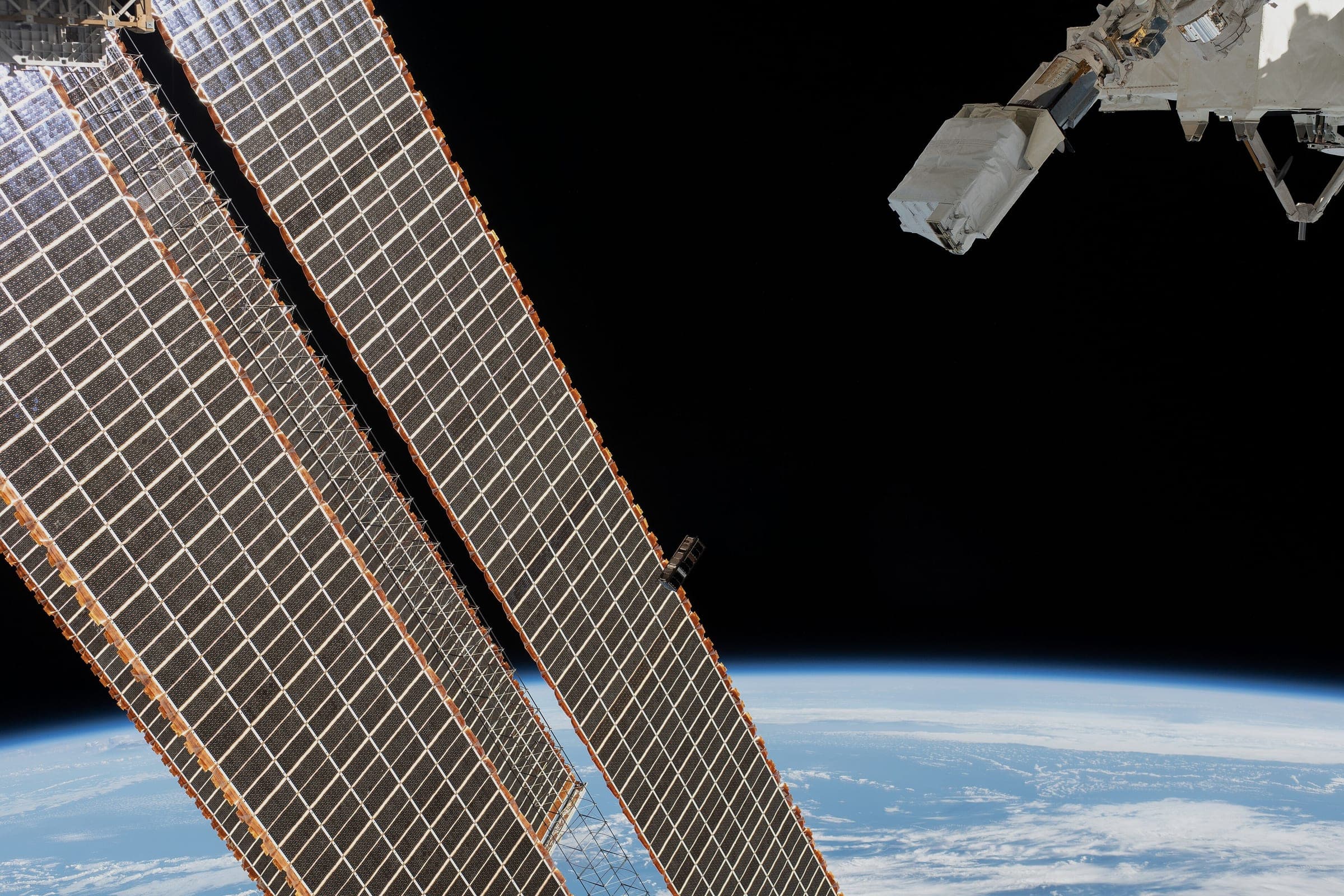
GNSS interference is not perceived as an attack. It is perceived as a fleet running late, timestamps that do not add up and a payment system starting to reject operations a thousand kilometres from the source.
By then you are not looking for the cause. You are paying for the effect.
2
Continuity layers: orbital and ground
24/7
Watch on interference and solar weather
4
Cross-checked sources behind every finding
T-03 h
Shortest decision window
GRID method / 4 layers
Every layer preserves source, time and confidence. The output is not more information: it is a decision with an owner and a window.
Identification of spoofing, jamming and solar events with potential operational impact.
Assessment across terrestrial networks, fleet navigation and critical communications.
Recommendations for switching, redundancy and orbital risk.
Specialist incident room for interference, degradation or attributed events.
Delivery / What reaches your desk
Orbital and PNT resilience reports
Continuity for operators, ground stations and satellite-enabled services.
01PNT resilience for maritime, aviation and high-precision operations.
02Prioritised signals, recommended decision and action window for the frontline team.
03Scenario evolution, material changes and mitigation measures for functional leaders.
04Consolidated view for leadership and board: impact, open decisions and cost of inaction.
05Criteria / Answers
No. It provides risk intelligence and continuity recommendations to the responsible operating teams.
Available anomalies, geographic and temporal context and technical sources are correlated with explicit confidence.
Yes. Solar events and potential impact on communications, navigation and dependent systems are assessed.
Yes. Analysis connects the space event to affected fleets, networks, timing and infrastructure on the ground.
Next step
Understand which terrestrial services depend on each orbital signal and prepare alternatives before degradation.