01/04 · 24/7 surveillance
AIS, optical and SAR
Position, weather and geopolitical alerts combined on one operational timeline.
SolutionsSeaSafe
What it does
Intelligence advisory for decisions on routes, windows and ports. Weather, geopolitics, sanctions and congestion read together and turned into a recommendation with an owner and a deadline.
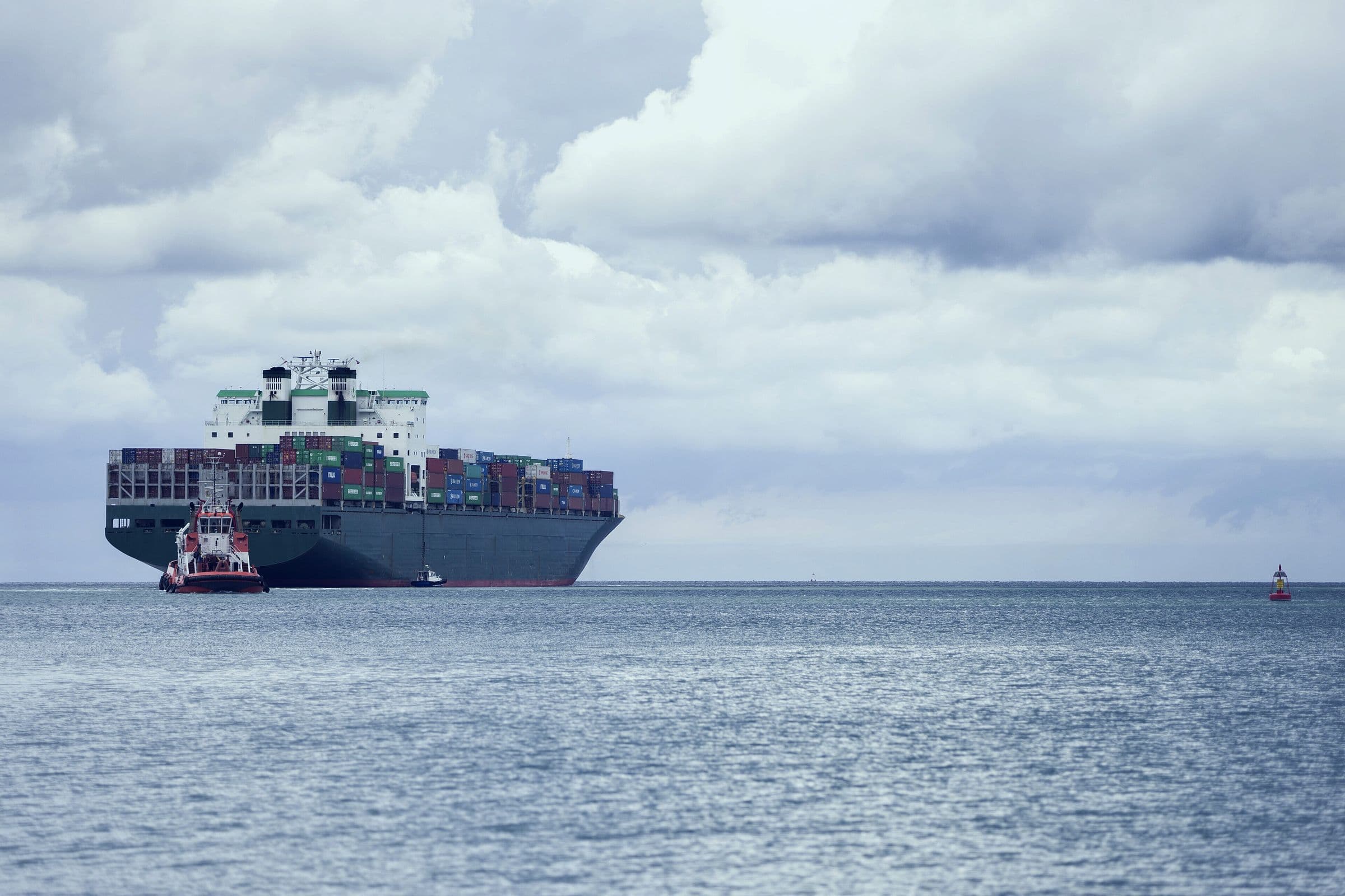
A sanction, a storm or a saturated terminal does not stay at sea. It reorders costs, schedules and delivery commitments upstream and downstream, and it does so weeks before the effect is measurable on a P&L.
By then the decision is no longer to anticipate. It is to absorb.
4
Critical straits under standing watch
24/7
Transit and terminal analysis
4
Sources crossed on every finding
T-06 h
Shortest decision window
GRID method / 4 layers
Every layer preserves source, time and confidence. The output is not more information: it is a decision with an owner and a window.
Position, weather and geopolitical alerts combined on one operational timeline.
Triangulation of manifests, vessel history and the destination's political context.
Cape versus Suez comparison, berth alternatives and recommended arrival timing.
Judgement and liaison through the incident: piracy, boarding, government detention or compliance breach.
Delivery / What reaches your desk
Maritime intelligence for leadership
Operational assessment during conflict, severe weather or sudden port-capacity loss.
01Sanctions, blacklists, vessel ownership and counterparty exposure checked together.
02Prioritised signals, recommended decision and action window for the frontline team.
03Scenario evolution, material changes and mitigation measures for functional leaders.
04Consolidated view for leadership and board: impact, open decisions and cost of inaction.
05Criteria / Answers
AIS describes position and movement; SeaSafe adds geopolitical, port and regulatory context plus a decision recommendation.
Yes. The analysis can extend from maritime approach to terminal, customs and the connecting land corridor.
Silences and anomalies are checked against imagery, voyage history and available sources, always with an explicit confidence level.
Yes. SeaSafe can support one critical transit or remain active across routes and ports.
Next step
Identify the straits, ports and decisions concentrating your exposure before the scenario changes.